Fiordland, New Zealand

The Fjords of the Antipodes


Fjord in S
Jagged canyon of Milford Sound, just miles from the Tasman Sea.
rock niches
Sea lions at the sea end of Milford Sound.
spurt
Waterfall flows abundantly above the Chasm in Fiordland National Park.
Tribune of Honor
Ferry passengers admire the Milford Sound landscape.
Bridge over Chasma
Hikers cross a bridge over The Chasm in Fiordland National Park.
Kiwi Ferry
New Zealand's nautical flag waving from the stern of a ferry across the Milford Sound.
View Tunnel
Section of the road that connects Te Anau to the entrance to Milford Sound.
New Zealand fetuses
A lush fern near the Chasm in Fiordland National Park.
Path to the Mountain
Snowy Peak towers above Te Anau - Milford Sound Highway.
Stirling Falls
A ferry passenger admires the Stirling Falls waterfall.
The Summits of the Fjords
Panorama from the top of the Sounds as seen during a scenic flight.
a certain daring
Ferry comes as close as possible to Stirling Falls, one of several Milford Sound waterfalls.
moss rails
Mossy forest on the edge of Te Anau - Milford Sound Highway.
rushed river
A stream runs through a valley in Fiordland National Park.
A geological quirk made the Fiordland region the rawest and most imposing in New Zealand. Year after year, many thousands of visitors worship the sub-domain slashed between Te Anau and Milford Sound.

Whatever the itinerary, the discovery of the New Zealand sounds has a mandatory start in Te Anau, where hikers stock up on supplies and the last resort equipment, so often necessary because they are not prepared for the capricious local weather. 

The authorities Kiwi locals called it Te Anau Milford Highway.

As we traveled across the southern island, we got used to the ecological minimalism of these basic routes. And half an hour on the way is enough for us to confirm how her humility contrasted with the imposing scenery of the surrounding scenery.

We start by winding, going up and down through hills left behind by the glacial moraine that excavated Lake Te Anau, almost to 500 meters deep.

Onwards, we enter a dark and dense forest of beech trees that alternates with alluvial plains and gentle meadows yellowed by the tightening cold and which we see materialized in shades of white on the top of the mountains that close the Eglinton Valley and on the soaring summits of the Pyramid Peak and the Ngatimamoe Peak.

More often than we expected, we parked the car and went out for promising hikes, like the one in the Mirror Lakes where, over a bridge, we admire the more-than-perfect reflections of the surrounding mountains.

Around Km77, we find the area known by the natives as O Tapara, Cascade Creek for the settlers.

This is where the Maori detachments met and rested on their way to Anita Bay, where they prospected the stone they called pounamu (nephritis) and that, despite being considered semi-precious today, they considered the most valuable and sacred.

The Divide's Litical Division

Seven kilometers and many waterfalls fed by snow thaws later, we reach the rock wall of The Divide, the eastern-lower western passage of the Southern Alps. The Divide marks a geological as well as a climatic separation.

Road between Te Anau and Milford Sound, Fiordland National Parkl, New Zealand

Section of the road that connects Te Anau to the entrance to Milford Sound.

Without us expecting it, a thick, slow-motion snow begins to fall, which rescues our visibility and forces us to take a clumsy ride.

If there are places on Earth where it rains and – in the coldest months – it snows heavily, Fiordland is one of them. Certain areas have an average annual rainfall of almost 7 meters, spread over about 180 days.

On some of these days 250 mm of rain or snow or snow and rain can fall, a dynamic combination that, propelled by the strong wind, bewilders and puts even the most experienced hikers in affliction, at the mercy of the treacherous heights of the 480 km of trails in the region.
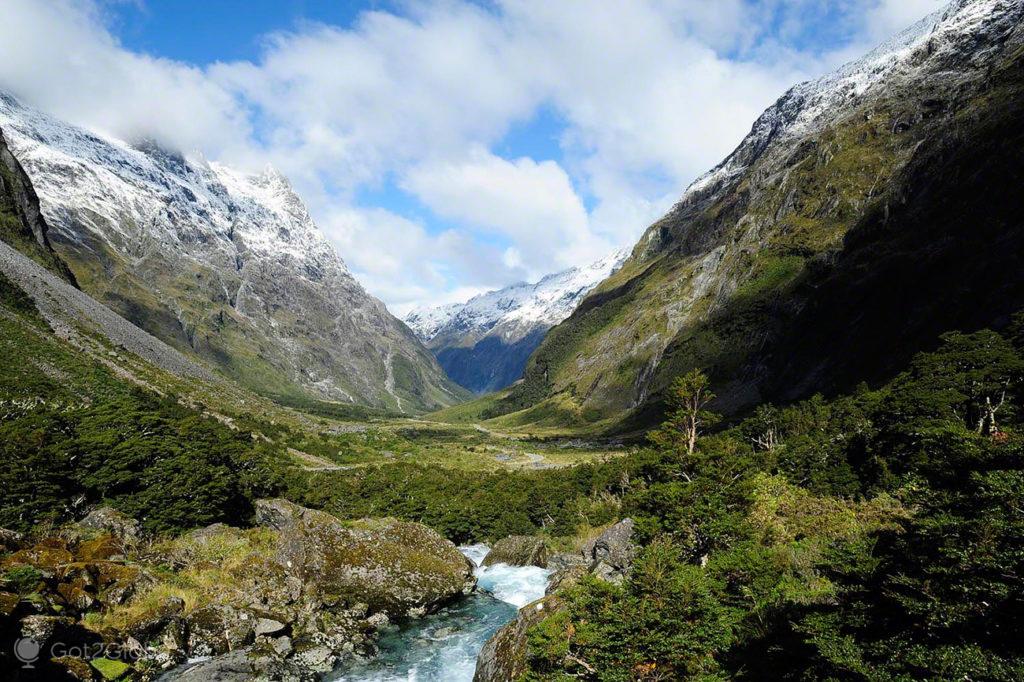
River, Fiordland National Park, New Zealand

River runs through a valley in Fiordland National Park.

Even inside the car shelter, we felt psychological discomfort and impotence in the face of that rough landscape and the inclement nature of the elements that sculpted it. The storm does not linger. After half an hour, the setting is given a rewarding lull that restores the sharpness of raw antiquity.

A Panorama Little or Nothing Changed by the Millennium

In visual terms, but not only, Fiordland remains part of the prehistoric era. Many of its animals and plants are endemic and have evolved little since then: o takahe, a species of goose thought to be extinct 50 years ago, the kakapo, the heaviest parrot in the world, the ok, a cheeky relative (and the only alpine parrot) that we found soaked in a viewpoint and, who knows why, that insists on biting our shoes.

Geologically speaking, Fiordland's landscape has been crisscrossed by intense glacial erosion and by the tectonic activity that affected the islands of New Zealand during their long post-Gondwana drift across the Pacific Ocean.

While the movement of the plates continues to raise the cliffs and mountains to the order of 1.3 cm per year, the flooding climate takes care of the final decorative touches, with a clear focus on the more vivid shades of green.

As more and more inhospitable kilometers pass, the scenarios confirm themselves filled with a chaotic assortment of bushes that give way to specific streams. They are also covered with carpets of moss and resplendent ferns, with green or brown trunks, some stiff, others fallen and rotten but always full of lichens. 

Forest, Fiordland National Park, New Zealand

Moss-covered forest on the edge of Te Anau – Milford Sound Highway.

Passage through The Chasm and the Majestic Vision of Milford Sound

We detected this composition in full, just 10km from Milford Sound and the Tasman Sea, around The Chasm where the Cleddau River crashes between gigantic polished boulders and disappears to the bottom of a tight abyss, all enjoyed over a bridge of wood overlooking Mount Tutoko, the highest peak in Fiordland.

The Chasm, Fiordland National Park, New Zealand

Waterfall flows abundantly above the Chasm in Fiordland National Park.

The first sighting of Milford Sound dazzles us double. All of a sudden, the rebellious rivers give way to a long, meandering inlet of the Tasman Sea. From the edges of its dark blue bed, huge almost vertical rocky cliffs are projected, covered in a vertical forest green.

We board one of the ships that reveals this last kiwi frontier and, under the cover of the icy wind, we approach the supreme domain of Miter Peak (1692m).

Te Anau to Milford Sound highway, Fiordland National Park, New Zealand

Snowy Peak stands out above Te Anau – Milford Sound Highway.

Rain Waterfalls, Ice Waterfalls

The waterfalls form white threads that stand out and succeed in dimensions and volumes regulated by the melting of continental lands and by rainfall.

Some are permanent. This is the case of the Stirling Falls, with a rich and dancing flow that gives us and the other passengers on the deck a rejuvenating shower.

Ferry, Stirling Falls, Milford Sound, Fiordland, New Zealand

Ferry comes as close as possible to Stirling Falls, one of several Milford Sound waterfalls.

The vessel follows its course in calm waters. Until the fjord opens, reveals the immensity of the Tasman Sea and submits to the discomfort of the strong swell. We explored a small stretch of the maritime slopes of this sound, we saw colonies of seals and some penguins.

Sea lions, Milford Sound, Fiordland National Park, New Zealand

Sea lions at the sea end of Milford Sound.

Meanwhile, the boat reverses gear and returns to the protection of the mouth for the happiness of the most vulnerable passengers, who were already starting to feel seasick.

The Colonial History of the Evasive Sounds

The sailors at the service of the first discoverers to go offshore, among which the Dutchman Abel Tasman – who gave his name to the surrounding sea – hardly suffered from this condition. Strangely enough, they admired the same views but missed or ignored the narrow entrances that hid navigable canals and gave advanced access to the interior.

In 1773, one of these most famous sailors, named James Cook, was returning from an epic journey across the Southern Ocean in search of the great southern continent when he detected a substantial indentation in the mountains.

More cautious than curious, he chose not to explore it for fear that the wind accelerated by the tight gorge would prevent the vessel from returning to open sea. Inspired by this distrust, he named it the name that the neighboring Milford fjord continues to bear: Doubtful (doubtful or suspicious).

Gorge, Milford Sound, Fiordland, New Zealand

Jagged canyon of Milford Sound, just miles from the Tasman Sea.

Cook was to anchor the Resolution further south at Pickersgill Harbour, a natural refuge from another huge fjord, the Dusky Sound.

The difficulty in colonizing these wild and inhospitable lands has continued over the centuries, such that Fiordland is the region of New Zealand with the least population: only 2000 of its 4,1 million inhabitants live here.

On the other hand, when descriptions of the purity and beauty of these scenarios began to reach the four corners of the planet, new explorers began to flow.

Ferry Stern, Milford Sound, Fiordland, New Zealand

New Zealand's nautical flag waving from the stern of a ferry across the Milford Sound.

Donald Sutherland: The Pioneer Who Became a Host

It all started when Donald Sutherland, a soldier, adventurer, seal hunter, gold prospector and who knows what else, declared upon sighting Milford Sound: "If you ever drop anchor, it will be here."

Twelve years later, in 1878, his wife, Elisabeth, took advantage of the establishment of the first path between Te Anau and Milford and opened an inn to accommodate the asphalters, people from the city who arrived to appreciate the grandeur of the scenarios.

Milford Track. Milford Sound Discovered on Foot

Every year, 400 travelers from all over the world flock to the region, determined to explore it, whatever the cost. Some pay only with cash and are transported full time by land, sea and air. Others also pay with the body. They walk and climb until exhaustion.

The construction of roads in Fiordland has been limited to what is absolutely necessary or perhaps not even that, considering that there is only one. The tramping trails – the New Zealanders' favorite outdoor activity – scan the region without ceremony or shame, covering a total of almost 500 kilometers that wind from sea level to the highest peaks.

One of these trails, the Milford Track, became so popular that Fiordland National Park authorities had to “ration” the annual number of permits granted, to avoid excessive traffic in the warmer months.

With 54 kilometers long, which takes about four days to complete, and a route that leads to the entrance of Milford Sound through forests and waterlogged valleys, the Milford Track is labeled as “easy”.

Fetus, Fiordland National Park, New Zealand

A lush fern near the Chasm in Fiordland National Park.

Others, as long or longer, go up and down mountains with such steep slopes that they require technical knowledge of climbing.

According to Maori mythology, the fjords were not carved by the icy rivers that once filled all the valleys, but by an ax-wielding god, Tu-te-raki-whanoa, who carved slices on the coast, now punished. by huge waves, to make it habitable.

The urban plan failed completely, but the Maori took the opportunity to discover the region, to fish, hunt and collect a type of jade they called tangiwai.

Certain tribal groups defeated in internal conflicts did, however, settle temporarily, living in seclusion among the seals and penguins – which the European settlers later almost extinguished – until they returned to the interior.

Ferry Stern, Milford Sound, Fiordland, New Zealand

New Zealand's nautical flag waving from the stern of a ferry across the Milford Sound.

Even then, they suffered from the sand flies that infest this part of New Zealand, responsible for the only negative criticism anyone dares to make of the region.

Experts in generating mythology, the Maori created the legend that they were introduced by the Dark goddess, Hine-nui-te-po, to prevent humans from becoming inactive in the face of the dazzling beauty of the landscape. This time, the divine plans did not fail. The only way not to offer them some blood is to stop as little as possible.

Nelson to Wharariki, Abel Tasman NP, New Zealand

The Maori coastline on which Europeans landed

Abel Janszoon Tasman explored more of the newly mapped and mythical "Terra australis" when a mistake soured the contact with natives of an unknown island. The episode inaugurated the colonial history of the New Zealand. Today, both the divine coast on which the episode took place and the surrounding seas evoke the Dutch navigator.
Wanaka, New Zealand

The Antipodes Great Outdoors

If New Zealand is known for its tranquility and intimacy with Nature, Wanaka exceeds any imagination. Located in an idyllic setting between the homonymous lake and the mystic Mount Aspiring, it became a place of worship. Many kiwis aspire to change their lives there.
North Island, New Zealand

Journey along the Path of Maority

New Zealand is one of the countries where the descendants of settlers and natives most respect each other. As we explored its northern island, we became aware of the interethnic maturation of this very old nation. Commonwealth as Maori and Polynesia.
Banks Peninsula, New Zealand

The Divine Earth Shard of the Banks Peninsula

Seen from the air, the most obvious bulge on the South Island's east coast appears to have imploded again and again. Volcanic but verdant and bucolic, the Banks Peninsula confines in its almost cogwheel geomorphology the essence of the ever enviable New Zealand life.
napier, New Zealand

Back to the 30s - Calhambeque Tour

In a city rebuilt in Art Deco and with an atmosphere of the "crazy years" and beyond, the adequate means of transportation are the elegant classic automobiles of that era. In Napier, they are everywhere.
Christchurch, New Zealand

New Zealand's Cursed Wizard

Despite his notoriety in the antipodes, Ian Channell, the New Zealand sorcerer, failed to predict or prevent several earthquakes that struck Christchurch. At the age of 88, after 23 years of contract with the city, he made very controversial statements and ended up fired.
Mount cook, New Zealand

The Cloud Piercer Mountain

Aoraki/Mount Cook may fall far short of the world's roof but it is New Zealand's highest and most imposing mountain.
Aoraki / Mount Cook, New Zealand

The Aeronautical Conquest of the Southern Alps

In 1955, pilot Harry Wigley created a system for taking off and landing on asphalt or snow. Since then, his company has unveiled, from the air, some of the greatest scenery in Oceania.
Tongariro, New Zealand

The Volcanoes of All Discords

In the late XNUMXth century, an indigenous chief ceded the PN Tongariro volcanoes to the British crown. Today, a significant part of the Maori people claim their mountains of fire from European settlers.
New Zealand  

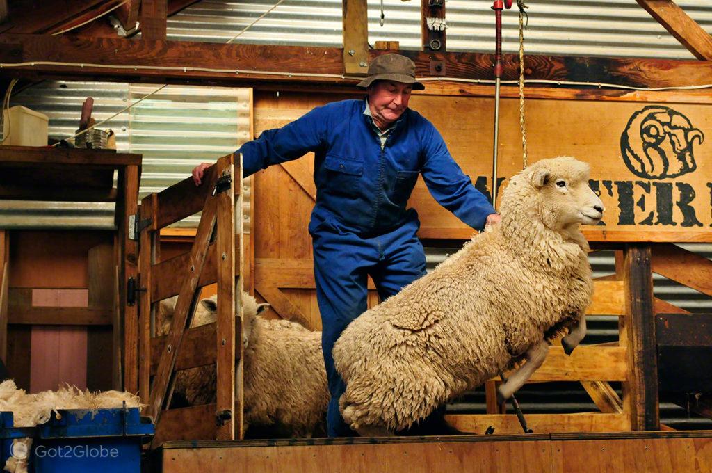
When Counting Sheep causes Sleep Loss

20 years ago, New Zealand had 18 sheep per inhabitant. For political and economic reasons, the average was halved. In the antipodes, many breeders are worried about their future.
Napier, New Zealand

Back to the 30s

Devastated by an earthquake, Napier was rebuilt in an almost ground-floor Art Deco and lives pretending to stop in the Thirties. Its visitors surrender to the Great Gatsby atmosphere that the city enacts.
bay of islands, New Zealand

New Zealand's Civilization Core

Waitangi is the key place for independence and the long-standing coexistence of native Maori and British settlers. In the surrounding Bay of Islands, the idyllic marine beauty of the New Zealand antipodes is celebrated, but also the complex and fascinating kiwi nation.
Queenstown, New Zealand

Queenstown, the Queen of Extreme Sports

In the century. XVIII, the Kiwi government proclaimed a mining village on the South Island "fit for a queen".Today's extreme scenery and activities reinforce the majestic status of ever-challenging Queenstown.
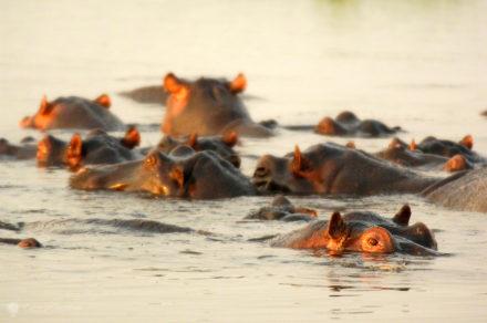
hippopotami, chobe national park, botswana
Safari
Chobe NP, Botswana

Chobe: A River on the Border of Life with Death

Chobe marks the divide between Botswana and three of its neighboring countries, Zambia, Zimbabwe and Namibia. But its capricious bed has a far more crucial function than this political delimitation.
Annapurna (circuit)
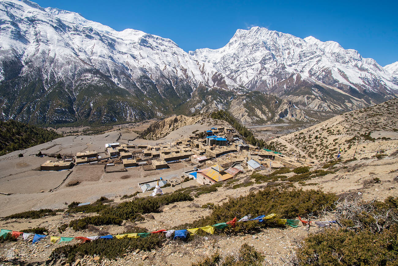
Annapurna Circuit: 5th - Ngawal a BragaNepal

Towards the Nepalese Braga

We spent another morning of glorious weather discovering Ngawal. There is a short journey towards Manang, the main town on the way to the zenith of the Annapurna circuit. We stayed for Braga (Braka). The hamlet would soon prove to be one of its most unforgettable places.
A Lost and Found City
Architecture & Design
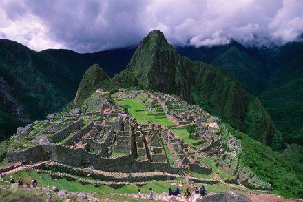
Machu Picchu, Peru

The City Lost in the Mystery of the Incas

As we wander around Machu Picchu, we find meaning in the most accepted explanations for its foundation and abandonment. But whenever the complex is closed, the ruins are left to their enigmas.
Era Susi towed by dog, Oulanka, Finland
Adventure
PN Oulanka, Finland

A Slightly Lonesome Wolf

Jukka “Era-Susi” Nordman has created one of the largest packs of sled dogs in the world. He became one of Finland's most iconic characters but remains faithful to his nickname: Wilderness Wolf.
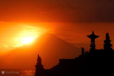
Balinese Hinduism, Lombok, Indonesia, Batu Bolong temple, Agung volcano in background
Ceremonies and Festivities
Lombok, Indonesia

Lombok: Balinese Hinduism on an Island of Islam

The foundation of Indonesia was based on the belief in one God. This ambiguous principle has always generated controversy between nationalists and Islamists, but in Lombok, the Balinese take freedom of worship to heart
Casario de Ushuaia, last of the cities, Tierra del Fuego, Argentina
Cities
Ushuaia, Argentina

The Last of the Southern Cities

The capital of Tierra del Fuego marks the southern threshold of civilization. From Ushuaia depart numerous incursions to the frozen continent. None of these play and run adventures compares to life in the final city.
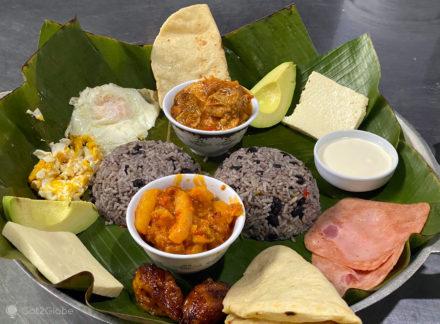
Fogón de Lola, great food, Costa Rica, Guápiles
Meal
Fogón de Lola Costa Rica

The Flavor of Costa Rica of El Fogón de Lola

As the name suggests, the Fogón de Lola de Guapiles serves dishes prepared on the stove and in the oven, according to Costa Rican family tradition. In particular, Tia Lola's.
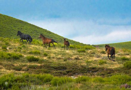
Garranos gallop across the plateau above Castro Laboreiro, PN Peneda-Gerês, Portugal
Culture
Castro Laboreiro, Portugal  

From Castro de Laboreiro to the Rim of the Peneda – Gerês Range

We arrived at (i) the eminence of Galicia, at an altitude of 1000m and even more. Castro Laboreiro and the surrounding villages stand out against the granite monumentality of the mountains and the Planalto da Peneda and Laboreiro. As do its resilient people who, sometimes handed over to Brandas and sometimes to Inverneiras, still call these stunning places home.
4th of July Fireworks-Seward, Alaska, United States
Sport
Seward, Alaska

The Longest 4th of July

The independence of the United States is celebrated, in Seward, Alaska, in a modest way. Even so, the 4th of July and its celebration seem to have no end.
Fruit sellers, Swarm, Mozambique
Traveling
Enxame Mozambique

Mozambican Fashion Service Area

It is repeated at almost all stops in towns of Mozambique worthy of appearing on maps. The machimbombo (bus) stops and is surrounded by a crowd of eager "businessmen". The products offered can be universal such as water or biscuits or typical of the area. In this region, a few kilometers from Nampula, fruit sales suceeded, in each and every case, quite intense.
little subject
Ethnic

Hampi, India

Voyage to the Ancient Kingdom of Bisnaga

In 1565, the Hindu empire of Vijayanagar succumbed to enemy attacks. 45 years before, he had already been the victim of the Portugueseization of his name by two Portuguese adventurers who revealed him to the West.

sunlight photography, sun, lights
Got2Globe Photo Portfolio
Natural Light (Part 2)

One Sun, So Many Lights

Most travel photos are taken in sunlight. Sunlight and weather form a capricious interaction. Learn how to predict, detect and use at its best.
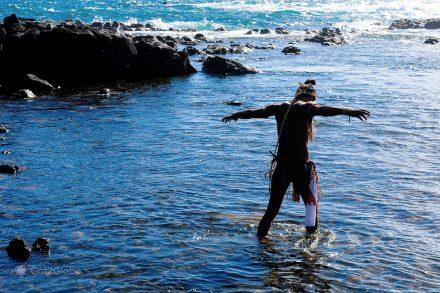
Moa on a beach in Rapa Nui/Easter Island
History
Easter Island, Chile

The Take-off and Fall of the Bird-Man Cult

Until the XNUMXth century, the natives of Easter Island they carved and worshiped great stone gods. All of a sudden, they started to drop their moai. The veneration of tanatu manu, a half-human, half-sacred leader, decreed after a dramatic competition for an egg.
Porto Santo, view to the south of Pico Branco
Islands
Terra Chã and Pico Branco footpaths, Porto Santo

Pico Branco, Terra Chã and Other Whims of the Golden Island

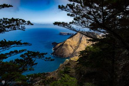
In its northeast corner, Porto Santo is another thing. With its back facing south and its large beach, we unveil a mountainous, rugged and even wooded coastline, dotted with islets that dot an even bluer Atlantic.
Correspondence verification
Winter White
Rovaniemi, Finland

From the Finnish Lapland to the Arctic. A Visit to the Land of Santa

Fed up with waiting for the bearded old man to descend down the chimney, we reverse the story. We took advantage of a trip to Finnish Lapland and passed through its furtive home.
José Saramago in Lanzarote, Canary Islands, Spain, Glorieta de Saramago
Literature
Lanzarote, Canary Islands, Spain (España)

José Saramago's Basalt Raft

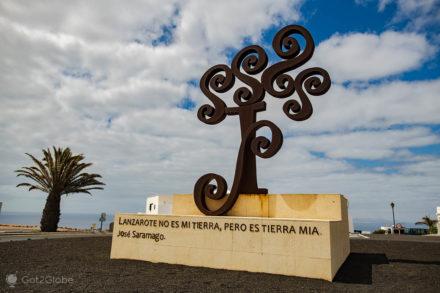
In 1993, frustrated by the Portuguese government's disregard for his work “The Gospel According to Jesus Christ”, Saramago moved with his wife Pilar del Río to Lanzarote. Back on this somewhat extraterrestrial Canary Island, we visited his home. And the refuge from the portuguese censorship that haunted the writer.
kings canyon, red centre, heart, australia
Nature
Red Center, Australia

Australia's Broken Heart

The Red Center is home to some of Australia's must-see natural landmarks. We are impressed by the grandeur of the scenarios but also by the renewed incompatibility of its two civilizations.
Sheki, Autumn in the Caucasus, Azerbaijan, Autumn Homes
Autumn
Sheki, Azerbaijan

autumn in the caucasus

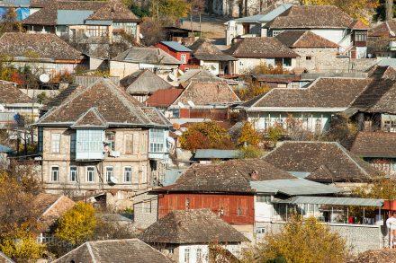
Lost among the snowy mountains that separate Europe from Asia, Sheki is one of Azerbaijan's most iconic towns. Its largely silky history includes periods of great harshness. When we visited it, autumn pastels added color to a peculiar post-Soviet and Muslim life.
Cliffs above the Valley of Desolation, near Graaf Reinet, South Africa
Natural Parks
Graaf-Reinet, South Africa

A Boer Spear in South Africa

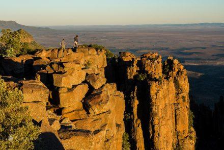
In early colonial times, Dutch explorers and settlers were terrified of the Karoo, a region of great heat, great cold, great floods and severe droughts. Until the Dutch East India Company founded Graaf-Reinet there. Since then, the fourth oldest city in the rainbow nation it thrived at a fascinating crossroads in its history.
São Miguel Island, Dazzling Colors by Nature
UNESCO World Heritage
São Miguel (Azores), Azores

São Miguel Island: Stunning Azores, By Nature

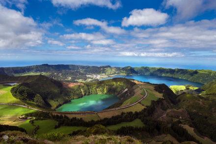
An immaculate biosphere that the Earth's entrails mold and soften is displayed, in São Miguel, in a panoramic format. São Miguel is the largest of the Portuguese islands. And it is a work of art of Nature and Man in the middle of the North Atlantic planted.
Zorro's mask on display at a dinner at the Pousada Hacienda del Hidalgo, El Fuerte, Sinaloa, Mexico
Characters
El Fuerte, Sinaloa, Mexico

Zorro's Cradle

El Fuerte is a colonial city in the Mexican state of Sinaloa. In its history, the birth of Don Diego de La Vega will be recorded, it is said that in a mansion in the town. In his fight against the injustices of the Spanish yoke, Don Diego transformed himself into an elusive masked man. In El Fuerte, the legendary “El Zorro” will always take place.
Tarrafal, Santiago, Cape Verde, Tarrafal Bay
Beaches
Tarrafal, Santiago, Cape Verde

The Tarrafal of Freedom and Slow Life

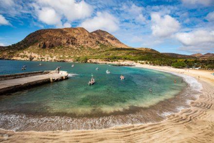
The village of Tarrafal delimits a privileged corner of the island of Santiago, with its few white sand beaches. Those who are enchanted there find it even more difficult to understand the colonial atrocity of the neighboring prison camp.
Herd in Manang, Annapurna Circuit, Nepal
Religion
Annapurna Circuit: 8th Manang, Nepal

Manang: the Last Acclimatization in Civilization

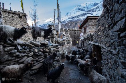
Six days after leaving Besisahar we finally arrived in Manang (3519m). Located at the foot of the Annapurna III and Gangapurna Mountains, Manang is the civilization that pampers and prepares hikers for the ever-dreaded crossing of Thorong La Gorge (5416 m).
The Toy Train story
On Rails
Siliguri a Darjeeling, India

The Himalayan Toy Train Still Running

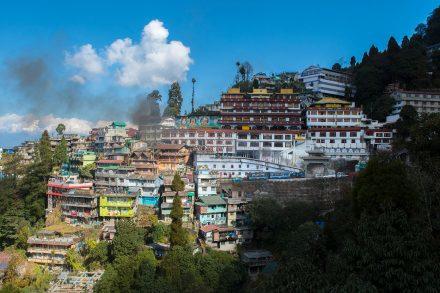
Neither the steep slope of some stretches nor the modernity stop it. From Siliguri, in the tropical foothills of the great Asian mountain range, the Darjeeling, with its peaks in sight, the most famous of the Indian Toy Trains has ensured for 117 years, day after day, an arduous dream journey. Traveling through the area, we climb aboard and let ourselves be enchanted.
Creepy Goddess Graffiti, Haight Ashbury, San Francisco, USA, United States America
Society
The Haight, San Francisco, USA

Orphans of the Summer of Love

Nonconformity and creativity are still present in the old Flower Power district. But almost 50 years later, the hippie generation has given way to a homeless, uncontrolled and even aggressive youth.
Ditching, Alaska Fashion Life, Talkeetna
Daily life
Talkeetna, Alaska

Talkeetna's Alaska-Style Life

Once a mere mining outpost, Talkeetna rejuvenated in 1950 to serve Mt. McKinley climbers. The town is by far the most alternative and most captivating town between Anchorage and Fairbanks.
Etosha National Park Namibia, rain
Wildlife
PN Etosha, Namíbia

The Lush Life of White Namibia

A vast salt flat rips through the north of Namibia. The Etosha National Park that surrounds it proves to be an arid but providential habitat for countless African wild species.
Full Dog Mushing
Scenic Flights
Seward, Alaska

The Alaskan Dog Mushing Summer

It's almost 30 degrees and the glaciers are melting. In Alaska, entrepreneurs have little time to get rich. Until the end of August, dog mushing cannot stop.